Collection of existing ground information and products
Work Package Leader: Prof. Claudia Meisina, Department of Earth and Environmental Sciences, University of Pavia
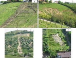
Existing ground information, databases and other products in the study area will be organized and integrated with data derived through some operations (field surveys, analysis of aerial photos and high resolution satellite images) for the construction/updating of the shallow landslide and flood databases. Information on landslide and flood position and activity in such areas will be tentatively collected also in an indirect way, by means of evidence from inhabitants or local administrations data.
Thematic maps are fundamental devices for characterizing the predisposing and triggering factors for these phenomena. In the areas, where a lack of data exists, field surveys will be carried out with the aim to describe the soil profile and thickness, to collect remoulded soil samples for laboratory analysis. The collected data will enable identification of terrain units (areas with homogeneous engineering geological characteristics of soils and land use), which will be used in the susceptibility and hazard assessment.
Two basins will be selected as pilot areas: Ardivestra River Basin (about 50 km2) and Versa-Scuropasso Rivers Basin (about 80 km2) corresponding to two different geological, geomorphological and land use contexts and where two hydro-meteorological monitoring stations were installed in order to identify soil hydrological behaviors and the triggering conditions of shallow failures. In the selected area, some critical points will be identified (schools/hospitals/roads/bridges) through stakeholders’ indications. These will be monitored during the experimental campaign in order to assess the associated risk of landslides and floods.
Deliverables
Distribution of the rainfall-induced shallow landslides and floods across the study area: Month 3;
Distribution of the main geological, geomorphological, geotechnical, hydrological, land use across the study area: Month 6;
Databases and maps of the rainfall-induced shallow landslides, floods and the main features associated to these phenomena: Month 6;
Database of ground observed hydrometeorological data for the study area: Month 6.